| Status: | Active, open to new members |
| Leader: | |
| Group email: | Walking (moderate) group |
| When: | Weekly on Thursday mornings 10:00 am |
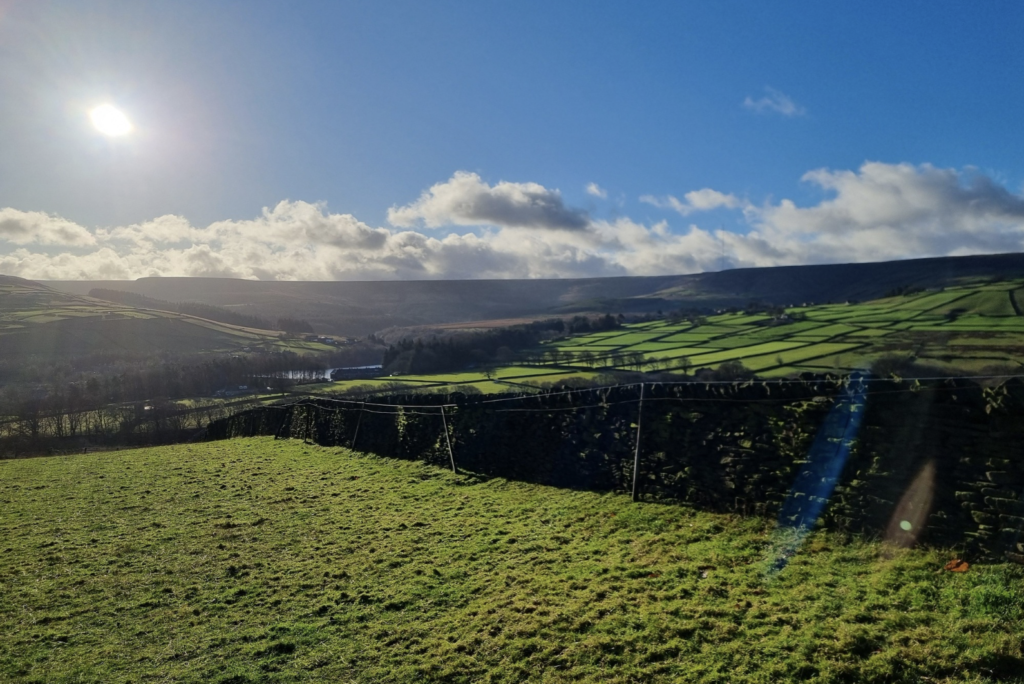
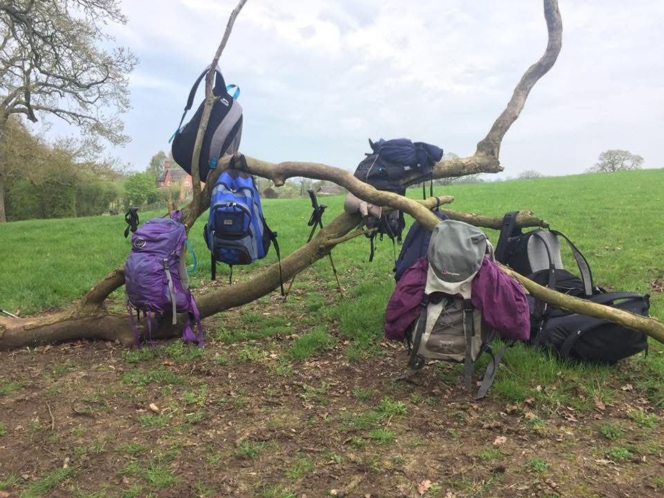
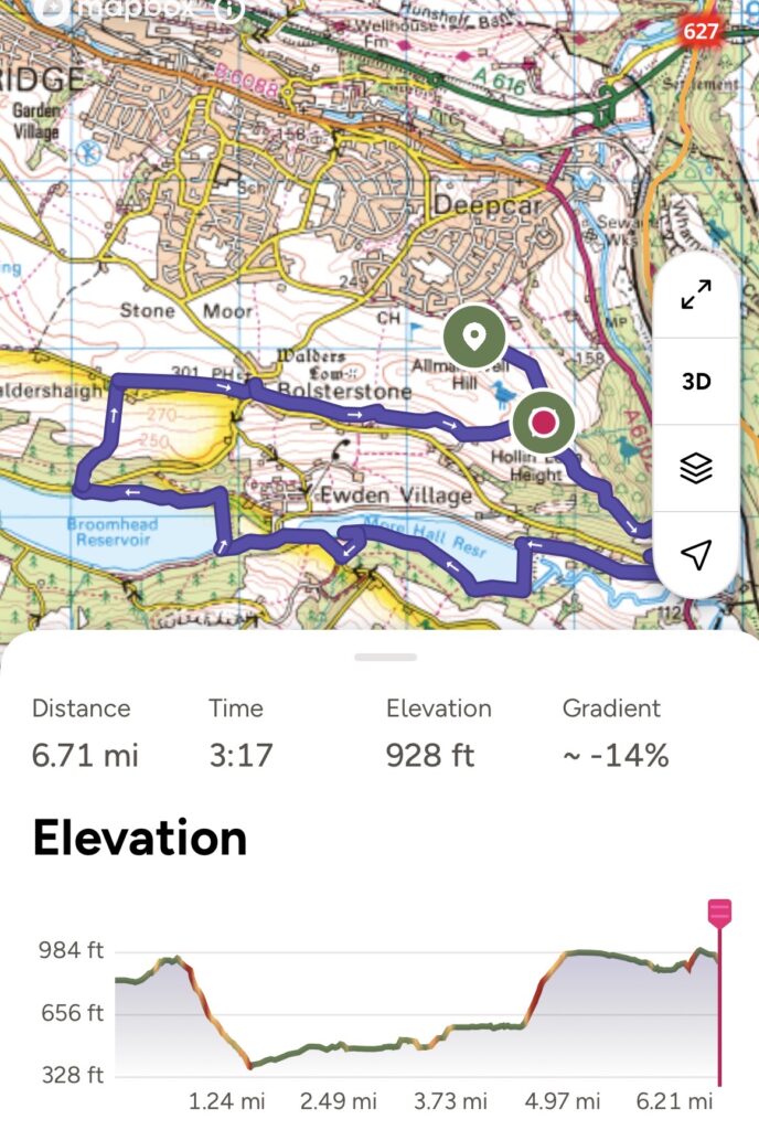
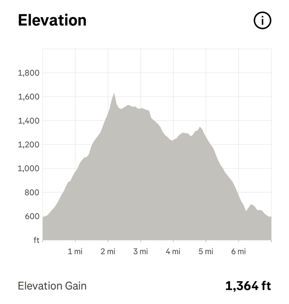
Walks will generally start at 10:00 unless otherwise shown (to fit in with public transport).
Walks generally run every week on a Thursday & are anything between 6.5 and 9 miles long over usually hilly terrain. (see programme below & examples of some elevation profiles in photos above). We usually walk at an average pace of around 2 to 2.5 miles per hour. The ‘walks’ are suited to people who are used to hiking.
Map numbers refer to the Ordnance Survey 1:25000 range of maps. Estimated durations do not include lunch or other breaks.
Our walks have an experienced leader who will ensure no-one gets left behind. The u3a provides third party insurance for members on the walks but does not cover personal accident/injury - we are all responsible for our own safety.
Stout walking boots or at the very least good walking shoes are recommended and poles are always useful. Always come prepared for the terrain and weather (waterproofs!) Winter walking particularly can be very muddy!
Our walks can sometimes be quite strenuous and are mostly suitable for people with some experience of hilly terrain. If you are wanting less strenuous walks, you may be interested in the Walking (easy) group (this group usually walk for around 2 hours, covering 3-4 miles on routes involving some hills and stiles but avoiding anything too strenuous).
For more information, or if you would like to join the Moderate Walking group, please email the group coordinator at: u3amoderatewalkinghv@outlook.com
************
If you are not sure which group would be best for you, drop a line to noreply@u3abeacon.org.uk who will put you in touch with relevant group leaders.
U3A Moderate Walks Programme
8.5 miles
1,221 ft elevation gain
*****************
Walking Programme July-September 2026
2nd July Robin Brooklands to Broadstone
Meet at Brooklands Nursery, Brooklands, Scholes, Holmfirth HD9 1UJ
Brooklands to Broadstone Reservoir and back, a distance of about eight and a half miles.
Refreshments in Brooklands cafe afterwards.
9th July John & Susie Morton Wood Circular (amended for weather conditions)
Walk Leaders: Susie and John
Start: New Mill car park 10am
Route: From New Mill through the woods to Hepworth, through Morton Wood on the Kirklees Way. The walk will be a short one - up to Little Cake at the top of Morton woods where we will return using the HVC walk - about 5 miles.
Distance: approx 5 miles, fairly easy walking.
16th July NO WALK VOLUNTEERED, too hot anyway…
23rd July Anthea Dowry Castle and Castleshaw
Brun Clough car park (on left of A62 beyond Marsden, postcode OL3 5LT) along Millstones Edge to the sites of Dowry Castle and Castleshaw Roman fort. 7 miles .
30th July Lesley Blackpool Bridge Circular
Walk leader: Lesley Rattigan Tel: 07736176757
Meet: Meet 10.00am in the car park in the quarry on the north side of Digley Dam, GR OL 1 111 073.
Walk details: A moderate walk to Blackpool Bridge round from Digley, with a lunch stop in Holme village.
Length and difficulty:
6.5 miles
Terrain:
There could be mud in places. A walking pole is useful but not essential.
6th August Judith. Honley - Castle Hill - Farnley Tyas
Meet for 10.00 start at the bottom of Honley Station yard. HD9 6LD
secret.cheese.bike
Parking on Station Road (school holidays).
We will climb up to Castle Hill via the railway line, West Wood, Ludhill Farm, Farnley Tyas and the Farnley Estate. Return through Hall Bower, Stirley Farm and Upper Park Wood Nature Reserve.
The terrain is woods, fields and quiet roads - all dry at the moment.
Views in all directions.
Distance: About 6.5 miles
Elevation: 1000 ft
Estimated time: 4 hours
13th August Steve & Julie CANCELLED: weather forecast to be too hot
20th August Cathy New Mill / Cheesegate, Morton Wood, Scholes
Meet at New Mill carpark, for 10:00 am start. Varied terrain.
Distance 7.5 miles Elevation gain 1,300 ft.
27th August Debbie Ingbirchworth, Upper Denby, High Flatts
3rd September Julie & Steve Brooklands
Start at Brooklands Garden Centre.
Walk via Underbank, Wards Bank, Cartworth Moor, Homestyes Reservoir, and Hade Edge.
Full details to follow
10th September Jo & Sandy
17th September Debbie Bottoms Mill, Holmbridge, Hade Edge, Cartworth Moor
24th September
1st October John & Susie
*****************
I am always in the process of updating the page with our walks programme as people get back to me with details. This is an on-going process as leaders always update me with the latest details after doing a recce of their walk closer to the date of their walk.
*****************